
Thank you for supporting this site ❤️
Make a donation
Make a donation
Gear up for your next adventure:
As an Amazon Associate, this site earns from qualifying purchases at no extra cost to you.
Mezquites topographic map
Click on the map to display elevation.
Thank you for supporting this site ❤️
Make a donation
Make a donation
Gear up for your next adventure:
As an Amazon Associate, this site earns from qualifying purchases at no extra cost to you.
About this map
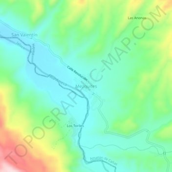
Name: Mezquites topographic map, elevation, terrain.
Location: Mezquites, Amatlán de Cañas, Nayarit, 63974, México (20.89490 -104.56307 20.93490 -104.52307)
Average elevation: 1,962 ft
Minimum elevation: 1,680 ft
Maximum elevation: 2,635 ft
Thank you for supporting this site ❤️
Make a donation
Make a donation
Gear up for your next adventure:
As an Amazon Associate, this site earns from qualifying purchases at no extra cost to you.