
Sunset topographic map
Click on the map to display elevation.
About this map
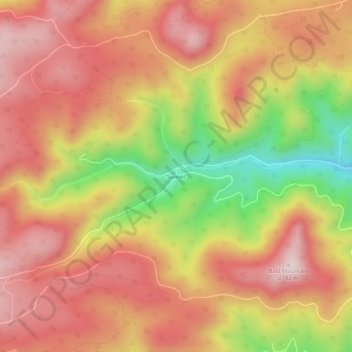
Name: Sunset topographic map, elevation, terrain.
Location: Sunset, Boulder County, Colorado, United States (40.01582 -105.48889 40.05582 -105.44889)
Average elevation: 8,501 ft
Minimum elevation: 7,470 ft
Maximum elevation: 9,154 ft
Boulder County trails, hiking, mountain biking, running and outdoor activities