
Thank you for supporting this site ❤️
Make a donation
Make a donation
Gear up for your next adventure:
As an Amazon Associate, this site earns from qualifying purchases at no extra cost to you.
Granni topographic map
Click on the map to display elevation.
Thank you for supporting this site ❤️
Make a donation
Make a donation
Gear up for your next adventure:
As an Amazon Associate, this site earns from qualifying purchases at no extra cost to you.
About this map
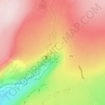
Name: Granni topographic map, elevation, terrain.
Location: Granni, Skeiða- og Gnúpverjahreppur, Suðurland, Island (64.20912 -19.68334 64.20922 -19.68324)
Average elevation: 1,404 ft
Minimum elevation: 768 ft
Maximum elevation: 1,824 ft
Thank you for supporting this site ❤️
Make a donation
Make a donation
Gear up for your next adventure:
As an Amazon Associate, this site earns from qualifying purchases at no extra cost to you.