
Peters topographic map
Click on the map to display elevation.
Peters
Peters is a census-designated place in San Joaquin County, California. Peters sits at an elevation of 112 feet (34 m). The 2010 United States census reported Peters' population was 672.
About this map
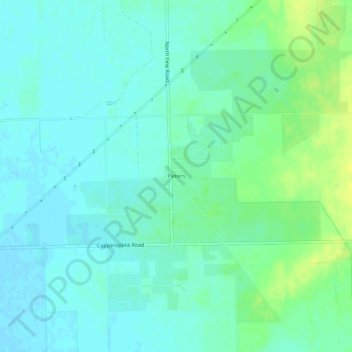
Name: Peters topographic map, elevation, terrain.
Location: Peters, San Joaquin County, California, United States (37.96076 -121.06800 38.00076 -121.02800)
Average elevation: 105 ft
Minimum elevation: 85 ft
Maximum elevation: 144 ft
San Joaquin County trails, hiking, mountain biking, running and outdoor activities