Geolocate

Rutherglen topographic map

Click on the map to display elevation.

About this map

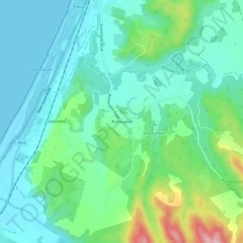
Name: Rutherglen topographic map, elevation, terrain.

Location: Rutherglen, Grey District, West Coast, New Zealand (-42.55299 171.15476 -42.51299 171.19476)

Average elevation: 151 ft

Minimum elevation: -7 ft

Maximum elevation: 617 ft

Other topographic maps

Click on a map to view its topography, its elevation and its terrain.

Lake Avernus

New Zealand > West Coast > Grey District

Average elevation: 4,380 ft

Gear up for your next adventure:

🧣Hiking Neck Gaiter - Multi‑use neck protection for outdoor weather
📦Gear Storage Bags - Organize and protect outdoor equipment
📷Action Cameras - Rugged cameras to document your journeys across rugged terrain
🪶Fire Starter Kit - Reliable fire starter for survival and camping
🌡️Portable Weather Meter - Track weather conditions on the trail

As an Amazon Associate, this site earns from qualifying purchases at no extra cost to you.