
El Condor topographic map
Click on the map to display elevation.
About this map
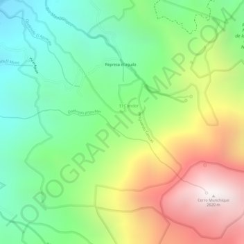
Name: El Condor topographic map, elevation, terrain.
Location: El Condor, Norte, Cauca, Colombia (2.92014 -76.46012 2.94045 -76.43857)
Average elevation: 6,398 ft
Minimum elevation: 4,826 ft
Maximum elevation: 8,563 ft