
Thank you for supporting this site ❤️
Make a donation
Make a donation
Gear up for your next adventure:
As an Amazon Associate, this site earns from qualifying purchases at no extra cost to you.
IJlst topographic map
Click on the map to display elevation.
Thank you for supporting this site ❤️
Make a donation
Make a donation
Gear up for your next adventure:
As an Amazon Associate, this site earns from qualifying purchases at no extra cost to you.
About this map
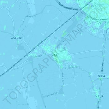
Name: IJlst topographic map, elevation, terrain.
Location: IJlst, Súdwest-Fryslân, Friesland, Nederland, 8651, Nederland (52.99004 5.60349 53.03004 5.64349)
Average elevation: -3 ft
Minimum elevation: -16 ft
Maximum elevation: 10 ft
Thank you for supporting this site ❤️
Make a donation
Make a donation
Gear up for your next adventure:
As an Amazon Associate, this site earns from qualifying purchases at no extra cost to you.