
Centerfield topographic map
Click on the map to display elevation.
About this map
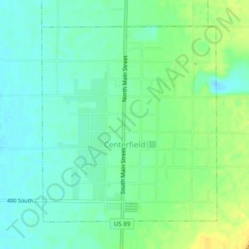
Name: Centerfield topographic map, elevation, terrain.
Location: Centerfield, Sanpete County, Utah, 84622, United States (39.11670 -111.83069 39.13806 -111.80616)
Average elevation: 5,102 ft
Minimum elevation: 5,069 ft
Maximum elevation: 5,148 ft
Sanpete County trails, hiking, mountain biking, running and outdoor activities
Other topographic maps
Click on a map to view its topography, its elevation and its terrain.