
Cana topographic map
Click on the map to display elevation.
About this map
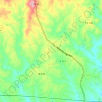
Name: Cana topographic map, elevation, terrain.
Location: Cana, Carroll County, Virginia, United States (36.55850 -80.70156 36.61741 -80.62810)
Average elevation: 1,385 ft
Minimum elevation: 1,155 ft
Maximum elevation: 1,791 ft
Carroll County trails, hiking, mountain biking, running and outdoor activities