
Lorenzo topographic map
Click on the map to display elevation.
About this map
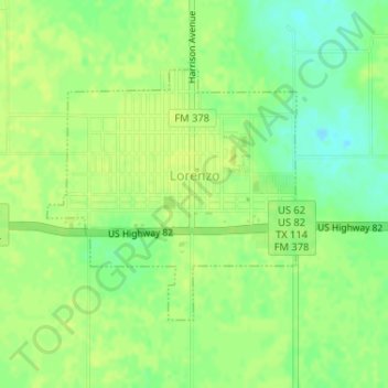
Name: Lorenzo topographic map, elevation, terrain.
Location: Lorenzo, Crosby County, Texas, United States (33.66057 -101.54753 33.67803 -101.52521)
Average elevation: 3,169 ft
Minimum elevation: 3,136 ft
Maximum elevation: 3,182 ft
Crosby County trails, hiking, mountain biking, running and outdoor activities
Other topographic maps
Click on a map to view its topography, its elevation and its terrain.