Geolocate

Harkeyville topographic map

Click on the map to display elevation.

About this map

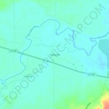
Name: Harkeyville topographic map, elevation, terrain.

Location: Harkeyville, San Saba County, Texas, United States (31.19072 -98.80560 31.23072 -98.76560)

Average elevation: 1,234 ft

Minimum elevation: 1,201 ft

Maximum elevation: 1,388 ft

San Saba County trails, hiking, mountain biking, running and outdoor activities

Other topographic maps

Click on a map to view its topography, its elevation and its terrain.

Richland Springs

United States > Texas > San Saba County

Average elevation: 1,407 ft

San Saba

United States > Texas > San Saba County

Average elevation: 1,283 ft

Mill Pond Park

United States > Texas > San Saba County > San Saba

Average elevation: 1,237 ft

Gear up for your next adventure:

🧤Tactile Hiking Gloves - Keep hands warm while operating GPS and smartphone screens
📌Outdoor GPS Map App - Apps and devices for digital topographic navigation
❄️Traction Cleats - Prevent slips on icy trails during winter hikes
🔋Solar Power Banks - Keep your GPS and phone charged in remote wilderness areas
🪄Magnetic Compass - Accurate compass for navigation

As an Amazon Associate, this site earns from qualifying purchases at no extra cost to you.