Geolocate

Großer Osser topographic map

Click on the map to display elevation.

About this map

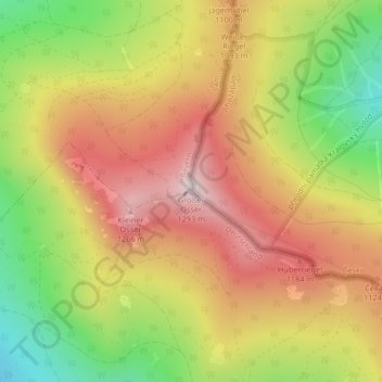
Name: Großer Osser topographic map, elevation, terrain.

Location: Großer Osser, Lam, Landkreis Cham, Bayern, 93462, Deutschland (49.20313 13.10973 49.20323 13.10983)

Average elevation: 3,330 ft

Minimum elevation: 2,352 ft

Maximum elevation: 4,163 ft

Other topographic maps

Click on a map to view its topography, its elevation and its terrain.

93462

Deutschland > Bayern > Landkreis Cham > Lam

Average elevation: 2,333 ft

Gear up for your next adventure:

🧭Map Reading Tools - Tools and kits for map navigation
🖼️Topo Map Wall Art - Decorative topographic prints of famous peaks and regions
📦Gear Storage Bags - Organize and protect outdoor equipment
🧯Portable Fire Pit - Compact fire pit for camping spots
🎒Gear Packing Cubes - Organize your backpack efficiently

As an Amazon Associate, this site earns from qualifying purchases at no extra cost to you.