Geolocate

Athos topographic map

Click on the map to display elevation.

About this map
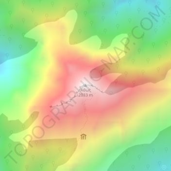
Name: Athos topographic map, elevation, terrain.

Location: Athos, Autonomous Monastic State of the Holy Mountain, Greece (40.15837 24.32721 40.15847 24.32731)

Average elevation: 4,255 ft

Minimum elevation: 2,159 ft

Maximum elevation: 6,585 ft

Gear up for your next adventure:

🧯Emergency Survival Kit - All‑in‑one survival essentials for the backcountry
🗺️NatGeo Topo Maps - High-quality waterproof printed topographic maps of US Parks
🔌Solar Panel Charger - Charge gear sustainably outdoors
🔦Compact Flashlight - Reliable flashlight for emergencies
🏕️Tent Footprint - Protect your tent base from wear

As an Amazon Associate, this site earns from qualifying purchases at no extra cost to you.