
Fort Rodd Hill and Fisgard Lighthouse National Historic Sites topographic map
Interactive map
Click on the map to display elevation.
About this map
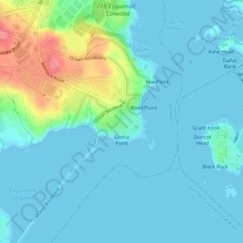
Name: Fort Rodd Hill and Fisgard Lighthouse National Historic Sites topographic map, elevation, terrain.
Average elevation: 46 ft
Minimum elevation: -7 ft
Maximum elevation: 253 ft