
Greiz topographic map
Click on the map to display elevation.
About this map
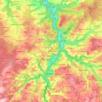
Name: Greiz topographic map, elevation, terrain.
Location: Greiz, Thuringia, 07973, Germany (50.56699 12.08536 50.71536 12.28079)
Average elevation: 1,247 ft
Minimum elevation: 768 ft
Maximum elevation: 1,657 ft
Other topographic maps
Click on a map to view its topography, its elevation and its terrain.