
Uslar topographic map
Click on the map to display elevation.
About this map
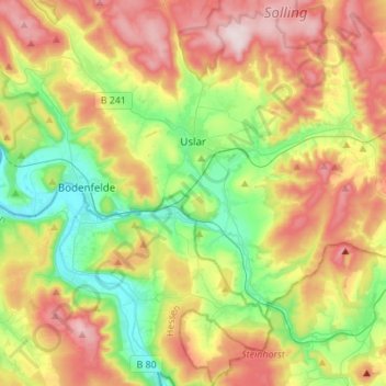
Name: Uslar topographic map, elevation, terrain.
Location: Uslar, Landkreis Northeim, Lower Saxony, 37170, Germany (51.55120 9.52275 51.72102 9.76831)
Average elevation: 883 ft
Minimum elevation: 325 ft
Maximum elevation: 1,637 ft
Other topographic maps
Click on a map to view its topography, its elevation and its terrain.