Geolocate

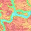
Gungolding topographic map

Click on the map to display elevation.

About this map
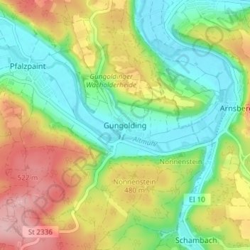
Name: Gungolding topographic map, elevation, terrain.

Location: Gungolding, Walting, Eichstätt (VGem), Landkreis Eichstätt, Bavaria, 85137, Germany (48.90442 11.32951 48.94442 11.36951)

Average elevation: 1,447 ft

Minimum elevation: 1,224 ft

Maximum elevation: 1,781 ft

Other topographic maps

Click on a map to view its topography, its elevation and its terrain.

Altmannstein

Germany > Bavaria > Landkreis Eichstätt

Average elevation: 1,460 ft

Eichstätt

Germany > Bavaria > Landkreis Eichstätt

Average elevation: 1,608 ft

Beilngries

Germany > Bavaria > Landkreis Eichstätt

Average elevation: 1,575 ft

Pförring

Germany > Bavaria > Landkreis Eichstätt

Average elevation: 1,250 ft

Großmehring

Germany > Bavaria > Landkreis Eichstätt

Average elevation: 1,247 ft

Kösching

Germany > Bavaria > Landkreis Eichstätt

Average elevation: 1,430 ft

93336

Germany > Bavaria > Landkreis Eichstätt > Sandersdorf

Average elevation: 1,460 ft

Eichstätt

Germany > Bavaria > Landkreis Eichstätt

Average elevation: 1,608 ft

Gear up for your next adventure:

🔦Compact Flashlight - Reliable flashlight for emergencies
🌡️Portable Weather Meter - Track weather conditions on the trail
🩳Quick‑Dry Hiking Shorts - Comfortable and quick‑dry shorts for summer hiking
🏕️Tent Footprint - Protect your tent base from wear
🏫Relief Map Kits - Hands-on tools for teaching landforms and elevation

As an Amazon Associate, this site earns from qualifying purchases at no extra cost to you.