
Stilfontein topographic map
Click on the map to display elevation.
About this map
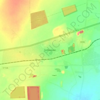
Name: Stilfontein topographic map, elevation, terrain.
Average elevation: 4,416 ft
Minimum elevation: 4,275 ft
Maximum elevation: 4,610 ft
Other topographic maps
Click on a map to view its topography, its elevation and its terrain.
Matlosana Ward 28
South Africa > North West > Dr Kenneth Kaunda District Municipality > Matlosana Local Municipality
Average elevation: 4,393 ft