
桥西乡 topographic map
Interactive map
Click on the map to display elevation.
About this map
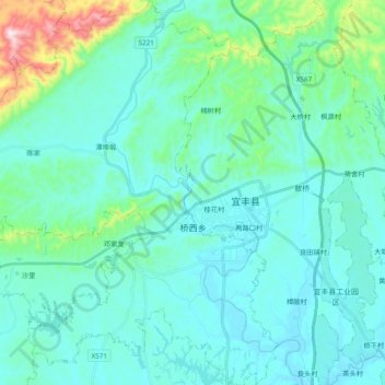
Name: 桥西乡 topographic map, elevation, terrain.
Location: 桥西乡, 宜丰县, 宜春市, 江西省, 中国 (28.31595 114.65211 28.48501 114.81502)
Average elevation: 427 ft
Minimum elevation: 167 ft
Maximum elevation: 1,936 ft
Other topographic maps
Click on a map to view its topography, its elevation and its terrain.