Geolocate

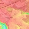
Moisson topographic map

Click on the map to display elevation.

About this map
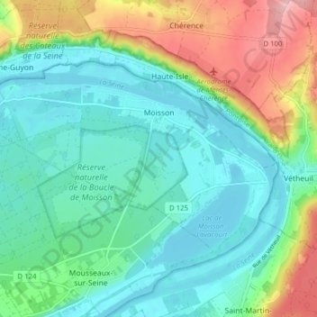
Name: Moisson topographic map, elevation, terrain.

Location: Moisson, Mantes-la-Jolie, Yvelines, Ile-de-France, Metropolitan France, 78840, France (49.05071 1.62006 49.08198 1.69781)

Average elevation: 194 ft

Minimum elevation: 39 ft

Maximum elevation: 587 ft

Other topographic maps

Click on a map to view its topography, its elevation and its terrain.

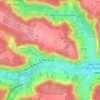
Rodon

France > Ile-de-France > Yvelines

Average elevation: 548 ft

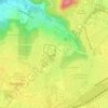
Hautvilliers

France > Ile-de-France > Yvelines > Chevreuse

Average elevation: 417 ft

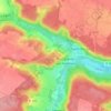
La Corse

France > Ile-de-France > Yvelines > Élancourt

Average elevation: 541 ft

Gear up for your next adventure:

🪑Ultralight Camp Chairs - Portable seating for resting after a long day of mapping
🔋Solar Power Banks - Keep your GPS and phone charged in remote wilderness areas
🧢Outdoor Hiking Hat - Sun protection hat for outdoor explorers
🧤Hiking Gloves - Protective gloves for rugged trails
👓Polarized Sunglasses - Outdoor sunglasses for glare reduction

As an Amazon Associate, this site earns from qualifying purchases at no extra cost to you.