Geolocate

Lamgara topographic map

Click on the map to display elevation.

About this map

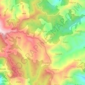
Name: Lamgara topographic map, elevation, terrain.

Location: Lamgara, Lamgara Tehsil, Almora District, Uttarakhand, 263625, India (29.52224 79.73113 29.56224 79.77113)

Average elevation: 5,807 ft

Minimum elevation: 4,862 ft

Maximum elevation: 6,667 ft

Gear up for your next adventure:

📡Handheld GPS Device - Reliable handheld GPS for outdoor navigation
📌Outdoor GPS Map App - Apps and devices for digital topographic navigation
Backpacking Tents - Weight-optimized shelters for multi-day topographic surveys
🚗GPS Dash Cams - Record your scenic drives through mountain passes and canyons
🎒Day Hiking Backpack - Lightweight backpack perfect for day trips and outdoor adventures

As an Amazon Associate, this site earns from qualifying purchases at no extra cost to you.