
民治街道 topographic map
Interactive map
Click on the map to display elevation.
About this map
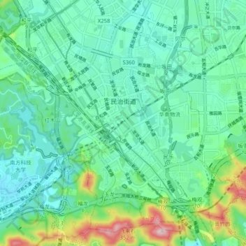
Name: 民治街道 topographic map, elevation, terrain.
Location: 民治街道, 龙华区, 深圳市, 广东省, 518110, 中国 (22.58399 113.98795 22.64836 114.06654)
Average elevation: 325 ft
Minimum elevation: 72 ft
Maximum elevation: 1,188 ft
Other topographic maps
Click on a map to view its topography, its elevation and its terrain.