
Ara Lake topographic map
Click on the map to display elevation.
About this map
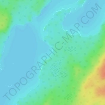
Name: Ara Lake topographic map, elevation, terrain.
Average elevation: 1,010 ft
Minimum elevation: 984 ft
Maximum elevation: 1,112 ft
Other topographic maps
Click on a map to view its topography, its elevation and its terrain.
Mowe Lake
Canada > Ontario > Thunder Bay District > Unorganized Thunder Bay District
Average elevation: 1,519 ft
Kashabowie
Canada > Ontario > Thunder Bay District > Unorganized Thunder Bay District
Average elevation: 1,532 ft
Ara Island
Canada > Ontario > Thunder Bay District > Unorganized Thunder Bay District
Average elevation: 1,001 ft
Davidson Lake
Canada > Ontario > Thunder Bay District > Unorganized Thunder Bay District
Average elevation: 958 ft
Pringle
Canada > Ontario > Thunder Bay District > Unorganized Thunder Bay District
Average elevation: 948 ft