Geolocate

Ballybrit topographic map

Click on the map to display elevation.

👉 Easily get elevation data in JSON, GeoTIFF and KML formats using Elevation API
Thank you for supporting this site ❤️
Make a donation

About this map

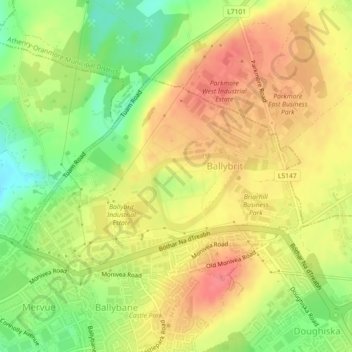
Name: Ballybrit topographic map, elevation, terrain.

Location: Ballybrit, Galway, County Galway, Connacht, Ireland (53.28856 -9.01827 53.30366 -8.98360)

Average elevation: 128 ft

Minimum elevation: 3 ft

Maximum elevation: 223 ft

Gear up for your next adventure:

🥤Water Filter Bottle - All‑in‑one filter bottle for safe hydration
💧Water Filtration Bottles - Safely drink from streams and lakes while exploring
🌄Hiking Binoculars - Compact binoculars for scenic views and trail spotting
🚗GPS Dash Cams - Record your scenic drives through mountain passes and canyons
🥾Hiking Shoes - Durable and comfortable shoes for trail hiking

As an Amazon Associate, this site earns from qualifying purchases at no extra cost to you.