Geolocate

Arabi topographic map

Click on the map to display elevation.

About this map

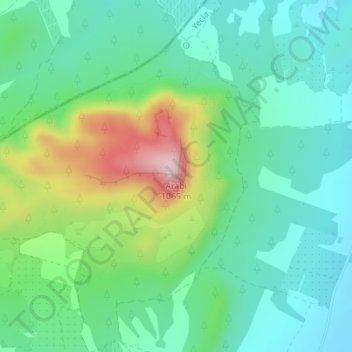
Name: Arabi topographic map, elevation, terrain.

Location: Arabi, Yecla, Altiplano, Region of Murcia, Spain (38.69721 -1.28282 38.69731 -1.28272)

Average elevation: 2,697 ft

Minimum elevation: 2,405 ft

Maximum elevation: 3,432 ft

Gear up for your next adventure:

🧥Waterproof Jacket for Hiking - Breathable and rugged rain jacket for outdoor excursions
🥘Titanium Cookware - Durable, featherlight pots and pans for backpacking
😴Insulated Sleeping Pads - Compact and warm pads for high-elevation camping
🛡️Bear Spray Outdoor - Protection in bear country hikes
🚁Photography Drones - Capture stunning aerial views of landforms and topography

As an Amazon Associate, this site earns from qualifying purchases at no extra cost to you.