

Santa Maria topographic map
Click on the map to display elevation.
About this map
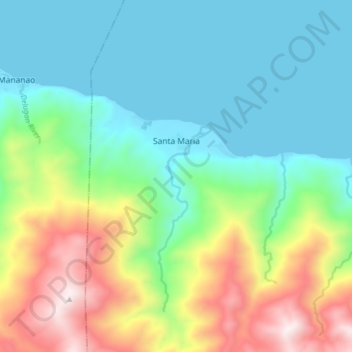
Name: Santa Maria topographic map, elevation, terrain.
Average elevation: 922 ft
Minimum elevation: 0 ft
Maximum elevation: 3,084 ft
Other topographic maps
Click on a map to view its topography, its elevation and its terrain.


Cave - Luyang Baga / Пещера - Бага
Philippines > Occidental Mindoro > Abra de Ilog > Cabacao
Average elevation: 833 ft
Wawa Lighthouse
Philippines > Occidental Mindoro > Abra de Ilog > Lumang Bayan
Average elevation: 85 ft