Geolocate

Barsi topographic map

Click on the map to display elevation.

About this map

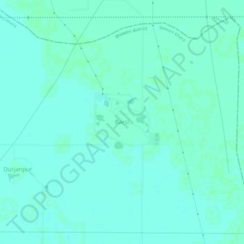
Name: Barsi topographic map, elevation, terrain.

Location: Barsi, Bawani Khera, Bhiwani, Haryana, India (29.02658 76.00322 29.06658 76.04322)

Average elevation: 715 ft

Minimum elevation: 705 ft

Maximum elevation: 719 ft

Gear up for your next adventure:

🧯Emergency Survival Kit - All‑in‑one survival essentials for the backcountry
🛰️Satellite Messengers - Emergency SOS and two-way messaging for off-grid adventures
🧭Pro Hiking Compasses - High-accuracy liquid-filled compasses for topographic orientation
🪶Wildlife Field Guides - Learn animal tracking and species ID
📡Handheld GPS Device - Reliable handheld GPS for outdoor navigation

As an Amazon Associate, this site earns from qualifying purchases at no extra cost to you.