Geolocate

Tahuania topographic map

Click on the map to display elevation.

About this map

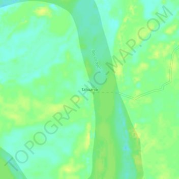
Name: Tahuania topographic map, elevation, terrain.

Location: Tahuania, Tahuanía, Atalaya, Ucayali, Perú (-10.10118 -74.00612 -10.06118 -73.96612)

Average elevation: 568 ft

Minimum elevation: 538 ft

Maximum elevation: 600 ft

Gear up for your next adventure:

🎒Trail Energy Bars - High‑calorie bars for hiking energy
📡GPS Antenna Upgrade - Enhance GPS reception in remote terrain
📷Action Cameras - Rugged cameras to document your journeys across rugged terrain
🪶Multi‑Purpose Knife - Useful blade for camp and trail
🌄Hiking Binoculars - Compact binoculars for scenic views and trail spotting

As an Amazon Associate, this site earns from qualifying purchases at no extra cost to you.