
Gaula topographic map
Interactive map
Click on the map to display elevation.
About this map
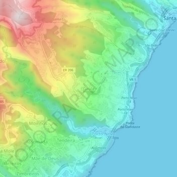
Name: Gaula topographic map, elevation, terrain.
Location: Gaula, Santa Cruz, Madère, 9100-019, Portugal (32.65153 -16.83456 32.69153 -16.79456)
Average elevation: 748 ft
Minimum elevation: 0 ft
Maximum elevation: 2,516 ft
Other topographic maps
Click on a map to view its topography, its elevation and its terrain.
Santo António da Serra
Santo António da Serra, Santa Cruz, Madère, Portugal
Average elevation: 1,919 ft