Geolocate

Water Basin topographic map

Click on the map to display elevation.

About this map

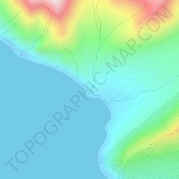
Name: Water Basin topographic map, elevation, terrain.

Location: Water Basin, Aleutians East, Alaska, United States (54.97265 -162.92468 54.97271 -162.92457)

Average elevation: 427 ft

Minimum elevation: -56 ft

Maximum elevation: 2,080 ft

Aleutians East trails, hiking, mountain biking, running and outdoor activities

Other topographic maps

Click on a map to view its topography, its elevation and its terrain.

King Cove

United States > Alaska > Aleutians East

Average elevation: 430 ft

Cold Bay

United States > Alaska > Aleutians East

Average elevation: 203 ft

Belkofski Village

United States > Alaska > Aleutians East

Average elevation: 243 ft

Pauloff Harbor

United States > Alaska > Aleutians East

Average elevation: 46 ft

Unga

United States > Alaska > Aleutians East

55°11′03″N 160°30′18″W / 55.18417°N 160.50500°W / 55.18417; -160.50500 Unga (Unangam tunuu: Uĝnaasaqax̂) is a ghost town on Unga Island in the Aleutians East Borough of the U.S. state of Alaska, about two miles west of Sand Point. The island's length is 15 miles (24 km). Unga's altitude is 59 feet (18 m).

Average elevation: 184 ft

Trident Bay

United States > Alaska > Aleutians East

Average elevation: 62 ft

Gear up for your next adventure:

🔥Fast-Boil Camping Stoves - Efficient cooking systems for quick trail meals
📚Navigation Handbooks - Master the art of reading topographic maps and using a compass
👓Polarized Sunglasses - Outdoor sunglasses for glare reduction
🌡️Portable Weather Meter - Track weather conditions on the trail
🧺Microfiber Travel Towels - Compact and fast-drying towels for trail use

As an Amazon Associate, this site earns from qualifying purchases at no extra cost to you.