
Orellana topographic map
Click on the map to display elevation.
Orellana
Orellana es una localidad peruana, capital del distrito de Vargas Guerra, ubicado en la provincia del Ucayali en el departamento de Loreto. Se encuentra a una altitud de m s. n. m. Tiene una población de 5191 habitantes en 1993.
About this map
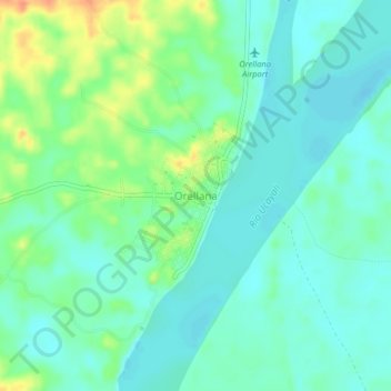
Name: Orellana topographic map, elevation, terrain.
Location: Orellana, Vargas Guerra, Ucayali, Loreto, Perú (-6.93143 -75.17830 -6.89143 -75.13830)
Average elevation: 413 ft
Minimum elevation: 371 ft
Maximum elevation: 515 ft