
Perth-Andover topographic map
Interactive map
Click on the map to display elevation.
About this map
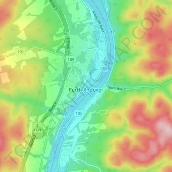
Name: Perth-Andover topographic map, elevation, terrain.
Location: Perth-Andover, Andover Parish, New Brunswick, Canada (46.71350 -67.73302 46.76551 -67.68832)
Average elevation: 554 ft
Minimum elevation: 210 ft
Maximum elevation: 1,086 ft