Geolocate

Laflèche topographic map

Click on the map to display elevation.

About this map

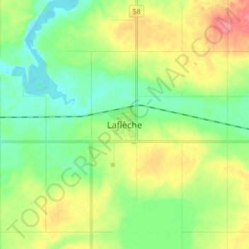
Name: Laflèche topographic map, elevation, terrain.

Location: Laflèche, Saskatchewan, S0H 2K0, Canada (49.66363 -106.61474 49.74363 -106.53474)

Average elevation: 2,428 ft

Minimum elevation: 2,339 ft

Maximum elevation: 2,579 ft

Gear up for your next adventure:

🗺️Topographic Maps - Detailed topo maps for hiking, exploring and outdoor navigation
🏫Relief Map Kits - Hands-on tools for teaching landforms and elevation
🗃️Trail First Aid Kit - Essential kit for outdoor injuries and emergencies
🔪Outdoor Multitools - Essential survival tools for gear repair and field use
🧢Outdoor Hiking Hat - Sun protection hat for outdoor explorers

As an Amazon Associate, this site earns from qualifying purchases at no extra cost to you.