
Thank you for supporting this site ❤️
Make a donation
Make a donation
Gear up for your next adventure:
As an Amazon Associate, this site earns from qualifying purchases at no extra cost to you.
Gorriti topographic map
Click on the map to display elevation.
Thank you for supporting this site ❤️
Make a donation
Make a donation
Gear up for your next adventure:
As an Amazon Associate, this site earns from qualifying purchases at no extra cost to you.
About this map
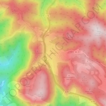
Name: Gorriti topographic map, elevation, terrain.
Location: Gorriti, Larraun, Larraun-Leitzaldea, Navarra, 31891, España (43.03080 -1.97303 43.07080 -1.93303)
Average elevation: 2,287 ft
Minimum elevation: 784 ft
Maximum elevation: 3,110 ft
Thank you for supporting this site ❤️
Make a donation
Make a donation
Gear up for your next adventure:
As an Amazon Associate, this site earns from qualifying purchases at no extra cost to you.