Geolocate

Tappen topographic map

Click on the map to display elevation.

About this map
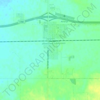
Name: Tappen topographic map, elevation, terrain.

Location: Tappen, Kidder County, North Dakota, United States (46.86419 -99.63909 46.87949 -99.61592)

Average elevation: 1,775 ft

Minimum elevation: 1,752 ft

Maximum elevation: 1,811 ft

North Dakota trails, hiking, mountain biking, running and outdoor activities

Gear up for your next adventure:

🗺️NatGeo Topo Maps - High-quality waterproof printed topographic maps of US Parks
🧥Men's Rain Shells - Premium waterproof and breathable jackets for mountain weather
📡Handheld GPS Device - Reliable handheld GPS for outdoor navigation
📚Navigation Handbooks - Master the art of reading topographic maps and using a compass
👖Convertible Hiking Pants - Versatile zip-off pants for changing altitudes and temperatures

As an Amazon Associate, this site earns from qualifying purchases at no extra cost to you.