Geolocate

Manantial topographic map

Click on the map to display elevation.

About this map

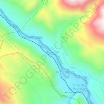
Name: Manantial topographic map, elevation, terrain.

Location: Manantial, Curicaca, Jauja, Junín, Perú (-11.77502 -75.74203 -11.73502 -75.70203)

Average elevation: 12,457 ft

Minimum elevation: 11,522 ft

Maximum elevation: 14,245 ft

Gear up for your next adventure:

👟Men's Trail Runners - Lightweight footwear for fast-paced exploration and light hiking
🛰️Satellite Messengers - Emergency SOS and two-way messaging for off-grid adventures
🧦Hiking Socks - Comfortable socks to prevent blisters on long hikes
🔥Plasma Lighters - Windproof lighters that work in any weather condition
🛰️Handheld GPS Units - Professional satellite navigators for precise backcountry mapping

As an Amazon Associate, this site earns from qualifying purchases at no extra cost to you.