
Calumet topographic map
Click on the map to display elevation.
About this map
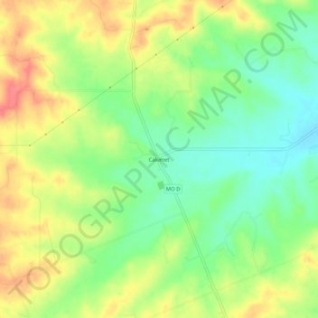
Name: Calumet topographic map, elevation, terrain.
Location: Calumet, Pike County, Missouri, United States (39.30699 -91.03208 39.34699 -90.99208)
Average elevation: 636 ft
Minimum elevation: 525 ft
Maximum elevation: 768 ft
Pike County trails, hiking, mountain biking, running and outdoor activities
Other topographic maps
Click on a map to view its topography, its elevation and its terrain.