
Deux-Montagnes topographic map
Interactive map
Click on the map to display elevation.
About this map
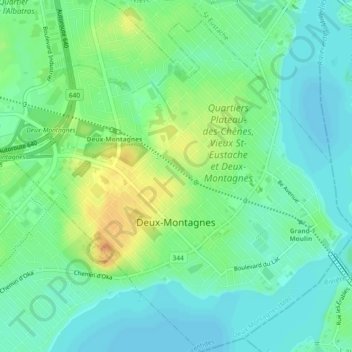
Name: Deux-Montagnes topographic map, elevation, terrain.
Location: Deux-Montagnes, Laurentides, Quebec, Canada (45.52531 -73.92654 45.55766 -73.88065)
Average elevation: 98 ft
Minimum elevation: 59 ft
Maximum elevation: 167 ft