Geolocate

Langerringen topographic map

Click on the map to display elevation.

About this map

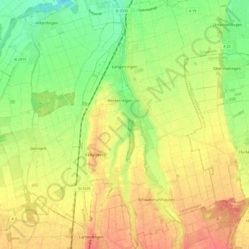
Name: Langerringen topographic map, elevation, terrain.

Location: Langerringen, Augsburg (district), Bavaria, 86853, Germany (48.08904 10.68387 48.16938 10.80145)

Average elevation: 1,886 ft

Minimum elevation: 1,781 ft

Maximum elevation: 1,985 ft

Gear up for your next adventure:

🔦Powerful Headlamps - Ultra-bright hands-free lighting for night navigation
🦶Hiking Gaiters - Keep debris and water out of your boots
🔦Compact Flashlight - Reliable flashlight for emergencies
📡Handheld GPS Device - Reliable handheld GPS for outdoor navigation
🩳Quick‑Dry Hiking Shorts - Comfortable and quick‑dry shorts for summer hiking

As an Amazon Associate, this site earns from qualifying purchases at no extra cost to you.