Geolocate

Khanna topographic map

Click on the map to display elevation.

About this map

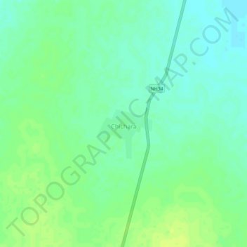
Name: Khanna topographic map, elevation, terrain.

Location: Khanna, Mahoba, Mahoba District, Uttar Pradesh, 210504, India (25.54569 80.04349 25.58569 80.08349)

Average elevation: 427 ft

Minimum elevation: 394 ft

Maximum elevation: 453 ft

Gear up for your next adventure:

🍳Camping Cook Set - Complete cookware for outdoor meals
🥤Water Filter Bottle - All‑in‑one filter bottle for safe hydration
🛰️Satellite Messengers - Emergency SOS and two-way messaging for off-grid adventures
🪶Compact Camp Shovel - Folding shovel for campsite tasks
🎒Gear Packing Cubes - Organize your backpack efficiently

As an Amazon Associate, this site earns from qualifying purchases at no extra cost to you.