Geolocate

Lalwadi topographic map

Click on the map to display elevation.

About this map

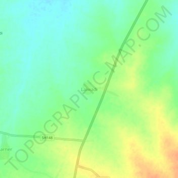
Name: Lalwadi topographic map, elevation, terrain.

Location: Lalwadi, Ambad, Jalna District, Maharashtra, 431204, India (19.64158 75.78644 19.68158 75.82644)

Average elevation: 1,640 ft

Minimum elevation: 1,591 ft

Maximum elevation: 1,706 ft

Gear up for your next adventure:

❄️Traction Cleats - Prevent slips on icy trails during winter hikes
🪵Folding Camp Saw - Compact saw for wood and campsite work
📡Handheld GPS Device - Reliable handheld GPS for outdoor navigation
🕶️Glacier Sunglasses - Side shields to protect eyes from high-altitude snow glare
🪓Survival Multi‑Tool - Versatile tool for camp and trail tasks

As an Amazon Associate, this site earns from qualifying purchases at no extra cost to you.