Geolocate

Mansa topographic map

Click on the map to display elevation.

About this map

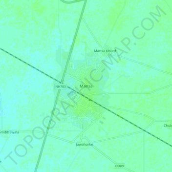
Name: Mansa topographic map, elevation, terrain.

Location: Mansa, Mansa Tahsil, Mansa District, Punjab, 151505, India (29.95469 75.36222 30.03469 75.44222)

Average elevation: 715 ft

Minimum elevation: 705 ft

Maximum elevation: 728 ft

Gear up for your next adventure:

🥄Camping Utensil Set - Lightweight utensils for outdoor meals
🥾Men's Hiking Boots - Durable, waterproof footwear for rugged terrain and steep inclines
🌧️Backpack Rain Cover - Keep gear dry in wet weather
📚USA Hiking Guide Books - Top trail guides and map books
🔦LED Headlamp - Bright and durable LED headlamp for night navigation

As an Amazon Associate, this site earns from qualifying purchases at no extra cost to you.