Geolocate

Baggan topographic map

Click on the map to display elevation.

About this map

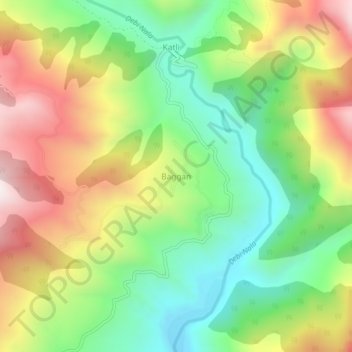
Name: Baggan topographic map, elevation, terrain.

Location: Baggan, Billawar, Kathua District, Jammu and Kashmir, India (32.64458 75.65323 32.68458 75.69323)

Average elevation: 4,160 ft

Minimum elevation: 2,890 ft

Maximum elevation: 5,866 ft

Gear up for your next adventure:

🧷Carabiner Set - Durable clips for gear attachment
🗺️NatGeo Topo Maps - High-quality waterproof printed topographic maps of US Parks
📌Outdoor GPS Map App - Apps and devices for digital topographic navigation
📖Nature Tracking Books - Learn to track wildlife and terrain
🪶Camping Sleeping Pad - Comfortable sleeping pad for backpacking

As an Amazon Associate, this site earns from qualifying purchases at no extra cost to you.