Geolocate

Coaldale topographic map

Click on the map to display elevation.

About this map

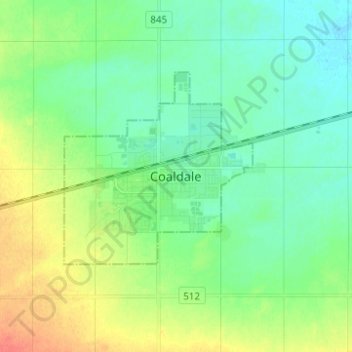
Name: Coaldale topographic map, elevation, terrain.

Location: Coaldale, Division No. 2, Alberta, T1M 1K8, Canada (49.68566 -112.65665 49.76566 -112.57665)

Average elevation: 2,851 ft

Minimum elevation: 2,805 ft

Maximum elevation: 2,946 ft

Gear up for your next adventure:

🥘Titanium Cookware - Durable, featherlight pots and pans for backpacking
🪑Ultralight Camp Chairs - Portable seating for resting after a long day of mapping
💧Water Filtration Bottles - Safely drink from streams and lakes while exploring
🥤Water Filter Bottle - All‑in‑one filter bottle for safe hydration
🌡️Portable Weather Meter - Track weather conditions on the trail

As an Amazon Associate, this site earns from qualifying purchases at no extra cost to you.