
Rotonda topographic map
Click on the map to display elevation.
About this map
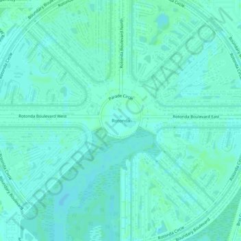
Name: Rotonda topographic map, elevation, terrain.
Location: Rotonda, Charlotte County, Florida, 33947, United States (26.87195 -82.29239 26.91195 -82.25239)
Average elevation: 13 ft
Minimum elevation: 3 ft
Maximum elevation: 20 ft
Charlotte County trails, hiking, mountain biking, running and outdoor activities
Other topographic maps
Click on a map to view its topography, its elevation and its terrain.
Gilcrest Park
United States > Florida > Charlotte County > Punta Gorda > Fishermens Village
Average elevation: 7 ft
Ainger Creek Park
United States > Florida > Charlotte County > Englewood > New Point Comfort
Average elevation: 10 ft
Harbour Heights
United States > Florida > Charlotte County > Punta Gorda > Harbour Heights
Average elevation: 13 ft