
Thank you for supporting this site ❤️
Make a donation
Make a donation
Gear up for your next adventure:
As an Amazon Associate, this site earns from qualifying purchases at no extra cost to you.
Tegalluar topographic map
Click on the map to display elevation.
Thank you for supporting this site ❤️
Make a donation
Make a donation
Gear up for your next adventure:
As an Amazon Associate, this site earns from qualifying purchases at no extra cost to you.
About this map
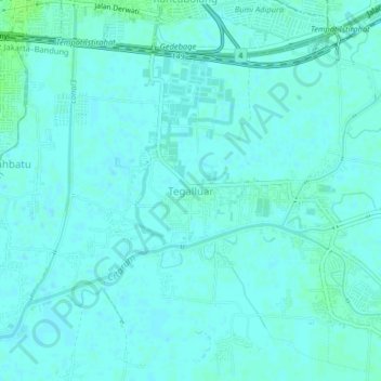
Name: Tegalluar topographic map, elevation, terrain.
Location: Tegalluar, Bandung, West Java, Java, 40295, Indonesia (-7.00397 107.67024 -6.96397 107.71024)
Average elevation: 2,175 ft
Minimum elevation: 2,165 ft
Maximum elevation: 2,192 ft
Thank you for supporting this site ❤️
Make a donation
Make a donation
Gear up for your next adventure:
As an Amazon Associate, this site earns from qualifying purchases at no extra cost to you.