Geolocate

Hamedan topographic map

Click on the map to display elevation.

About this map

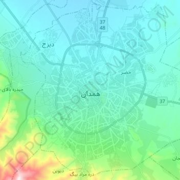
Name: Hamedan topographic map, elevation, terrain.

Location: Hamedan, Central District, Hamedan County, Hamadan Province, Iran (34.75190 48.46645 34.85043 48.59163)

Average elevation: 6,168 ft

Minimum elevation: 5,715 ft

Maximum elevation: 8,661 ft

Other topographic maps

Click on a map to view its topography, its elevation and its terrain.

Dizaj Town

Iran > Hamadan Province > Hamedan County > Hamedan > Dizaj Town

Average elevation: 5,942 ft

Gear up for your next adventure:

🥘Titanium Cookware - Durable, featherlight pots and pans for backpacking
📚Navigation Handbooks - Master the art of reading topographic maps and using a compass
🎒Outdoor Daypacks - Lightweight backpacks designed for carrying maps and essential gear
🧼Biodegradable Camping Soap - Eco‑friendly soap for outdoor hygiene
📡Handheld GPS Device - Reliable handheld GPS for outdoor navigation

As an Amazon Associate, this site earns from qualifying purchases at no extra cost to you.