
Thank you for supporting this site ❤️
Make a donation
Make a donation
Gear up for your next adventure:
As an Amazon Associate, this site earns from qualifying purchases at no extra cost to you.
Nappalayam topographic map
Click on the map to display elevation.
Thank you for supporting this site ❤️
Make a donation
Make a donation
Gear up for your next adventure:
As an Amazon Associate, this site earns from qualifying purchases at no extra cost to you.
About this map
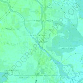
Name: Nappalayam topographic map, elevation, terrain.
Location: Nappalayam, Ponneri, Thiruvallur, Tamil Nadu, 600103, India (13.20003 80.25238 13.24003 80.29238)
Average elevation: 13 ft
Minimum elevation: 0 ft
Maximum elevation: 26 ft
Thank you for supporting this site ❤️
Make a donation
Make a donation
Gear up for your next adventure:
As an Amazon Associate, this site earns from qualifying purchases at no extra cost to you.