Geolocate

Red Bluff topographic map

Click on the map to display elevation.

About this map

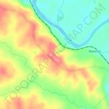
Name: Red Bluff topographic map, elevation, terrain.

Location: Red Bluff, Marion County, Mississippi, United States (31.32540 -89.94597 31.32550 -89.94587)

Average elevation: 249 ft

Minimum elevation: 121 ft

Maximum elevation: 384 ft

Marion County trails, hiking, mountain biking, running and outdoor activities

Other topographic maps

Click on a map to view its topography, its elevation and its terrain.

Columbia

United States > Mississippi > Marion County

Average elevation: 171 ft

Gear up for your next adventure:

🦶Hiking Gaiters - Keep debris and water out of your boots
🌐World Map Poster - Decorative world maps with topographic info
🪑Portable Camp Table - Compact table for campsite meals
🕶️GPS Smartphone Mount - Secure mount for phone navigation
🕶️Glacier Sunglasses - Side shields to protect eyes from high-altitude snow glare

As an Amazon Associate, this site earns from qualifying purchases at no extra cost to you.