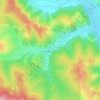
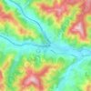
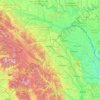
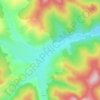
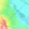
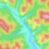
Brosteni topographic map
Click on the map to display elevation.
About this map

Name: Brosteni topographic map, elevation, terrain.
Location: Brosteni, Suceava, Romania (47.07734 25.41766 47.32382 25.81322)
Average elevation: 3,566 ft
Minimum elevation: 1,745 ft
Maximum elevation: 6,047 ft
Other topographic maps
Click on a map to view its topography, its elevation and its terrain.